| Dollberg | |
|---|---|
 Dollberg | |
| Highest point | |
| Elevation | 695.4 m above sea level (NHN) (2,281 ft) [1] |
| Listing | highest point in the Saarland |
| Coordinates | 49°37′47″N 7°00′52″E / 49.62972°N 7.014444°E |
| Geography | |
| Parent range | Dollberge |
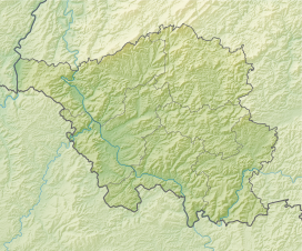
The Dollberg is a mountain in the Dollberge range in central Germany and the highest point in the state of Saarland. It is 695.4 m above sea level (NHN)[1] and lies within the Schwarzwälder Hochwald on the boundary between the counties of Trier-Saarburg (Rhineland-Palatinate) and St. Wendel (Saarland).


