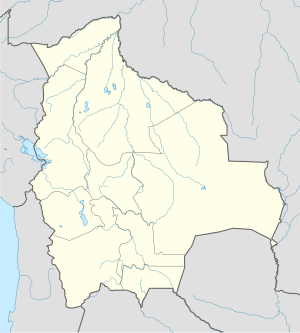
Kalapukan ang Curiche Bainacebo sa Bolibiya.[1] Nahimutang ni sa departamento sa El Beni, sa amihanan-kasadpang bahin sa nasod, 600 km sa amihanan sa Sucre ang ulohan sa nasod.
Nahimutangan sa Curiche Bainacebo sa Bolibiya.
Hapit nalukop sa durowan ug kabugangan ang palibot sa Curiche Bainacebo.[2] Dunay mga 2 ka tawo kada kilometro kwadrado sa palibot sa Curiche Bainacebo may kaayo gamay nga populasyon.[3] Ang klima tropikal nga kasalupan.[4] Ang kasarangang giiniton 22 °C. Ang kinainitan nga bulan Septiyembre, sa 24 °C, ug ang kinabugnawan Mayo, sa 20 °C.[5] Ang kasarangang pag-ulan 2,474 milimetro matag tuig. Ang kinabasaan nga bulan Pebrero, sa 477 milimetro nga ulan, ug ang kinaugahan Hulyo, sa 47 milimetro.[6]
| Curiche Bainacebo
|
|---|
| GRAP SA KLIMA (Giya) |
|---|
| J | F | M | A | M | J | J | A | S | O | N | D |
|
|
|
|
|
|
|
|
|
|
|
|
| Kasarangang talay sa kainiton (°C) |
| Kadaghanon sa ulan (mm) | | Tinubdan: [5] |
|
| Parehong Grap Gamit ang Britonhon nga Pagbuok |
|---|
| J | F | M | A | M | J | J | A | S | O | N | D |
|
|
|
|
|
|
|
|
|
|
|
|
| Kasarangang talay sa kainiton (°F) |
| Pulgada sa kadaghan sa ulan |
|
|
- ↑ Cite error: Invalid
<ref> tag; no text was provided for refs named gn3923415
- ↑ Cite error: Invalid
<ref> tag; no text was provided for refs named nasalandcover
- ↑ Cite error: Invalid
<ref> tag; no text was provided for refs named nasapop
- ↑ Cite error: Invalid
<ref> tag; no text was provided for refs named koppen
- ↑ 5.0 5.1 Cite error: Invalid
<ref> tag; no text was provided for refs named nasa
- ↑ Cite error: Invalid
<ref> tag; no text was provided for refs named nasarain

