| A35 | ||||
|---|---|---|---|---|
 At Kingston Russell Looking east along the road from Bridport to Dorchester | ||||
| Route information | ||||
| Length | 96.0 mi[1] (154.5 km) | |||
| Major junctions | ||||
| West end | 50°47′38″N 3°12′37″W / 50.7939°N 3.2102°W[2] | |||
| ||||
| East end | 50°56′25″N 1°22′41″W / 50.9404°N 1.3780°W | |||
| Location | ||||
| Country | United Kingdom | |||
| Primary destinations | Bridport Dorchester (Weymouth) Poole Bournemouth Southampton | |||
| Road network | ||||
| ||||
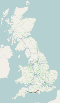
The A35 is a major road in southern England, connecting Honiton in Devon and Southampton in Hampshire. It is a trunk road for some of its length. Most of its route passes through Dorset and the New Forest. It originally connected Exeter and Southampton, the original A35 ran along what is now the A3052 joining the present road at Charmouth.
- ^ Cite error: The named reference
Mileagewas invoked but never defined (see the help page). - ^ "A35, Honiton". Google Maps. Google, Inc. Retrieved 26 December 2022.


