Back نهر اتشير ARZ Acher (suba sa Alemanya) CEB Ахер (юханшыв) CV Acher Danish Acher German Río Acher Spanish آچر Persian Acher French Acher NN Acher NB
This article may be a rough translation from German. It may have been generated, in whole or in part, by a computer or by a translator without dual proficiency. (February 2024) |
This article includes a list of general references, but it lacks sufficient corresponding inline citations. (February 2024) |
| Acher | |
|---|---|
 The Acher near Oberachern | |
| Location | |
| Country | Germany |
| State | Baden-Württemberg |
| Reference no. | DE: 23572 |
| Physical characteristics | |
| Source | |
| • location | On the northeast flank of the Vogelskopf |
| • coordinates | 48°33′47″N 8°13′03″E / 48.56306°N 8.2174389°E |
| • elevation | 848 m above sea level (NN) |
| Mouth | |
• location | near Iffezheim into the Rhine |
• coordinates | 48°50′39″N 8°07′06″E / 48.84417°N 8.11833°E |
• elevation | 114 m above sea level (NN) |
| Length | 53.6 km (33.3 mi) [1] |
| Basin size | 448 km2 [2] |
| Discharge | |
| • average | 9.13 m³/s[3] 3.39 m³/s (Kappelrodeck, Exit from the Black Forest, 25 % of the catchment) |
| Basin features | |
| Progression | Rhine→ North Sea |
| Tributaries | |
| • left | Gottschlägbach, Unterwasserbach, Fautenbach |
| • right | Seebach, Grimmerswaldbach, Sulzbach (Laufbach), Sandbach |
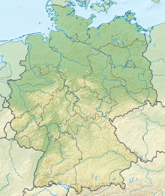
The Acher is a 53.6-kilometre-long river and tributary of the Rhine in the county of Ortenau, in the south German state of Baden-Württemberg. It flows in a northwesterly direction from the Black Forest to the Rhine, between the two rivers Rench to the south and the Oos to the north.
- ^ Map services of the Baden-Württemberg State Office for the Environment, Survey and Conservation (Landesanstalt für Umwelt, Messungen und Naturschutz Baden-Württemberg)
- ^ Regierungspräsidium Freiburg: TBG Begleitdokumentation Acher-Rench (33), Freiburg i. Br. 2009
- ^ Regierungspräsidium Freiburg: TBG Begleitdokumentation Acher-Rench (33), Tab. A 7.2.1, Freiburg i. Br. 2009 (converted from m³/a); the discharge value of 9.13 m³/s is calculated for the catchment including the Rhine Plain Canal, apparently without the inflow of the Acher Flood Control Channel, which diverts some of the water from the Rench. Also included is the Sandbach, the lower course of the Bühlot.
