Back Blagoevgrad AN بلاغويفغراد Arabic Blaqoyevqrad Azerbaijani بلاگوگراد AZB Благоеўград Byelorussian Благоеўград BE-X-OLD Благоевград Bulgarian Blagoevgrad Breton Blagòevgrad Catalan Благоевград CE
You can help expand this article with text translated from the corresponding article in Bulgarian. (May 2023) Click [show] for important translation instructions.
|
Blagoevgrad
Благоевград (Bulgarian) | |
|---|---|
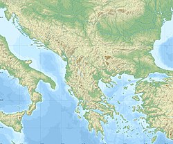
| Coordinates: 42°00′43″N 23°05′23″E / 42.01194°N 23.08972°E | |
| Country | Bulgaria |
| Province (Oblast) | Blagoevgrad |
| Municipality | Blagoevgrad |
| Government | |
| • Mayor | Metodi Baykushev (PP-DB) |
| Area | |
• Town | 28.909 km2 (11.162 sq mi) |
| Elevation | 410 m (1,350 ft) |
| Population (Census February 2021)[1] | |
• Town | 67,810 |
| • Density | 2,300/km2 (6,100/sq mi) |
| • Urban | 74,066 |
| Time zone | UTC+2 (EET) |
| • Summer (DST) | UTC+3 (EEST) |
| Postal Code | 2700 |
| Area code | 073 |
| License plate | E |
| Climate | Cfa |
| Website | Official website |
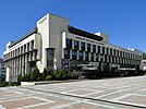
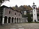
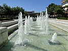
Blagoevgrad (Bulgarian: Благоевград [bɫɐˈɡɔɛvˌɡrat]) is а town in Southwestern Bulgaria, the administrative centre of Blagoevgrad Municipality and of Blagoevgrad Province. With a population of almost 70,000 inhabitants,[2] it is the economic and cultural centre of Southwestern Bulgaria. It is located in the valley of the Struma River at the foot of the Rila Mountains, 101 kilometres (63 miles) south of Sofia, close to the border with North Macedonia.
Blagoevgrad features a pedestrian downtown, with preserved 19th-century architecture and numerous restaurants, cafés, coffee shops, and boutiques. It is home to two universities, the South-West University "Neofit Rilski" and the American University in Bulgaria. The town also hosts the "Sts. Cyril and Methodius National Humanitarian High School". The former Bulgarian Men's High School of Thessaloniki moved from Thessaloniki to Blagoevgrad (then Gorna Dzhumaya) in 1913.
- ^ "Население по области, общини, местоживеене и пол | Национален статистически институт". nsi.bg.
- ^ "Население по области, общини, местоживеене и пол". Retrieved 8 December 2020.


