| GCHQ Bude, also known as GCHQ Composite Signals Organisation Station Morwenstow | |
|---|---|
| Part of Government Communications Headquarters | |
| Located near Coombe, Bude, Cornwall in United Kingdom | |
 Part of the satellite dish array of GCHQ Bude | |
| Coordinates | 50°53′10″N 4°33′13″W / 50.8862°N 4.5537°W |
| Grid reference | SS 2046 1246[1] |
| Type | UK Government satellite ground station and eavesdropping centre |
| Site information | |
| Owner | Government of the United Kingdom |
| Operator | GCHQ |
| Condition | Active |
| Website | https://www.GCHQ.gov.uk/gchq-bude |
| Site history | |
| Built | 1969–2001 |
| In use | 1974–present |
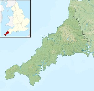
GCHQ Bude, also known as GCHQ Composite Signals Organisation Station Morwenstow,[1] abbreviated to GCHQ CSO Morwenstow,[1] is a UK Government satellite ground station and eavesdropping centre located on the north Cornwall coast at Cleave Camp,[2] between the small villages of Morwenstow and Coombe. It is operated by the British signals intelligence service, officially known as the Government Communications Headquarters, commonly abbreviated GCHQ. It is located on part of the site of the former World War II airfield, RAF Cleave.
- ^ a b c "GCHQ CSO Morwenstow (GCHQ Bude)". www.Cornwalls.co.uk. Cornwall Guide. 8 March 2008. Archived from the original on 19 October 2017. Retrieved 19 October 2017.
- ^ The coastal footpath post at the north western corner of the site states "Cleave Camp. Grid ref SS201 130" at coordinates position 50.8884°N 4.5591°W. The site has been referred to locally as Cleave Camp since the Second World War. BudePeeps (19 June 2011). "A few snippets about Bude". BudePeople.co.uk. Bude People. Archived from the original on 30 December 2013. There is a second coastal footpath post at approximately the mid-point of the western side of the station which states "Harscott High Cliff (N). Grid ref SS199 127" at coordinates position 50.8856°N 4.5618°W. The cliff headland at this point is Lower Sharpnose Point.

