Hadatha | |
|---|---|
| Etymology: "new"[1] | |
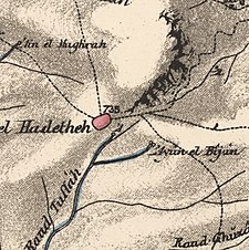
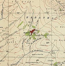
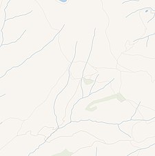
A series of historical maps of the area around Hadatha (click the buttons) | |
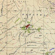
Location within Mandatory Palestine | |
| Coordinates: 32°40′59″N 35°29′19″E / 32.68306°N 35.48861°E | |
| Palestine grid | 196/232 |
| Geopolitical entity | Mandatory Palestine |
| Subdistrict | Tiberias |
| Date of depopulation | May 12, 1948[4] |
| Area | |
• Total | 10,310 dunams (10.31 km2 or 3.98 sq mi) |
| Population (1945) | |
• Total | 520[2][3] |
| Cause(s) of depopulation | Abandonment on Arab orders |
Hadatha, also El Hadetheh or Hadateh, was a Palestinian Arab village in the District of Tiberias, located 12.5 km southwest of Tiberias. It was depopulated in the 1947–1948 civil war in Mandatory Palestine.
- ^ Palmer 1881, p. 126.
- ^ Department of Statistics, 1945, p. 12
- ^ "Government of Palestine, Department of Statistics. Village Statistics, April, 1945. Quoted in Hadawi, page 72". 1970.
- ^ Morris, 2004, p. xvii village #106; p. 177 gives cause of depopulation


