Back منطقة ليت كرابانج Arabic খেত লয়াত ক্রাব্যাং BPY Khet Lat Krabang CEB Lat Krabang German Lat Krabang Spanish Lat Krabang Estonian Lat Krabang French Lat Krabang Italian ラートクラバン区 Japanese 랏끄라방 Korean
Lat Krabang
ลาดกระบัง | |
|---|---|
 | |
 District location in Bangkok | |
| Coordinates: 13°43′20.34″N 100°45′34.81″E / 13.7223167°N 100.7596694°E | |
| Country | Thailand |
| Province | Bangkok |
| Seat | Lat Krabang |
| Khwaeng | 6 |
| Area | |
• Total | 123.859 km2 (47.822 sq mi) |
| Population (2017) | |
• Total | 173,987[1] |
| • Density | 1,404.71/km2 (3,638.2/sq mi) |
| Time zone | UTC+7 (ICT) |
| Postal code | 10520 |
| Geocode | 1011 |
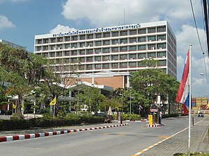
Lat Krabang (Thai: ลาดกระบัง, pronounced [lâːt krā.bāŋ]) is one of the eastern districts of Bangkok.
- ^ "Population and House Report for Year 2017". Department of Provincial Administration, Ministry of Internal Affairs. Retrieved 2018-04-01. (Search page)