Back جبل ماكيلينج Arabic جبل ماكيلينج ARZ Mount Makiling CEB Makiling German Makiling Spanish Mont Makiling French Mount Makiling LLD Bulkang Makiling PAM Bundok Makiling Tagalog Макілінг Ukrainian
| Mount Makiling | |
|---|---|
| Maquiling | |
 Mount Makiling summit close-up view from Santo Tomas, Batangas | |
| Highest point | |
| Elevation | 1,090 m (3,580 ft)[1] |
| Prominence | 968 m (3,176 ft) |
| Listing | List of inactive volcanoes in the Philippines |
| Coordinates | 14°08′N 121°12′E / 14.13°N 121.20°E |
| Geography | |
 | |
| Country | Philippines |
| Region | Calabarzon |
| Province | |
| City/municipality | |
| Geology | |
| Mountain type | Stratovolcano |
| Volcanic field | Laguna Volcanic Field |
| Last eruption | Holocene |
| Climbing | |
| Easiest route | from U.P. Los Baños |
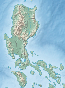
Mount Makiling (also spelled Maquiling) is an inactive stratovolcano located in the provinces of Laguna and Batangas on the island of Luzon in the Philippines. The mountain rises to an elevation of 1,090 meters (3,580 ft) above mean sea level and is the highest feature of the Laguna Volcanic Field. The volcano has no recorded historic eruption but volcanism is still evident through geothermal features like mud spring and hot springs. South of the mountain is the Makiling–Banahaw Geothermal Plant. The Philippine Institute of Volcanology and Seismology (PHIVOLCS) classifies the volcano as "Inactive".[2]

Mount Makiling is a state-owned forest reserve administered by the University of the Philippines Los Baños. Prior to its transfer to the university, the mountain was the first national park of the Philippines. Mount Makiling National Park was established on February 23, 1933, by Proclamation No. 552. However, it was decommissioned as a national park on June 20, 1963, by Republic Act No. 3523 when it was transferred to the university for use in forestry education and information.[3]


The mountain is sacred to many pilgrims and is widely believed to be the home of an anito named Maria Makiling. It is one of the most known bundok dambanas in Calabarzon. It was declared as an ASEAN Heritage Park in 2013, with the title of "Mount Makiling Forest Reserve".[4]
- ^ Cite error: The named reference
pinoymountaineerwas invoked but never defined (see the help page). - ^ "Potentially Active". Philippine Institute of Volcanology and Seismology. July 30, 2008. Archived from the original on February 13, 2012. Retrieved March 19, 2019.
- ^ "Republic Act No. 6967". Official Gazette of the Republic of the Philippines. October 15, 1990. Archived from the original on March 19, 2019. Retrieved March 19, 2019.
- ^ Yap, DJ (October 4, 2013). "Makiling now a heritage park". Philippine Daily Inquirer. Archived from the original on March 19, 2019. Retrieved March 19, 2019.

