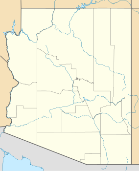
| Oracle State Park | |
|---|---|
| Location | Pinal, Arizona, United States |
| Coordinates | 32°36′28″N 110°43′59″W / 32.60778°N 110.73306°W |
| Area | 3,948 acres (15.98 km2) |
| Established | 1976 |
| Visitors | 7,883 (in 2022)[1] |
| Governing body | Arizona State Parks |
Kannally Ranch | |
 The Kannally Ranch house | |
| Location | Mt. Lemmon Hwy, E of Oracle |
|---|---|
| Nearest city | Oracle, Arizona |
| Coordinates | 32°36′35″N 110°44′1″W / 32.60972°N 110.73361°W |
| Area | Less than one acre |
| Built | 1929 |
| Architectural style | Spanish Colonial Revival |
| NRHP reference No. | 96000307 |
| Added to NRHP | March 28, 1996 |
Oracle State Park is a state park of Arizona, US, preserving 3,948 acres (1,598 ha) in the northeastern foothills of the Santa Catalina Mountains. The park is named after the nearby town of Oracle. Oracle State Park serves as a wildlife refuge, and is open during the winter from 9 am – 5 pm, and during the summer from 8 am - 4 pm.[2] In October 2011 Arizona State Parks agreed to reopen Oracle on a limited basis with a $40,000 budget if the park's Friends group can raise $21,000 in additional funds.[3] The park has more than 15 miles (24 km) of hiking trails, including 7 miles (11 km) of the Arizona Trail.[4]
- ^ "Monthly State Parks Visitation Report" (PDF). Arizona Office of Tourism. December 2022.
- ^ Arizona State Parks. "Oracle State Park".
- ^ "Oracle State Park could open part-time in February 2012". The Explorer. Tucson, Ariz. October 5, 2011.
- ^ Laine, Don & Barbara (1998). New Mexico & Arizona State Parks: A Complete Recreation Guide. The Mountaineers. pp. 236–237. ISBN 0-89886-559-X.

