| River Wansbeck | |
|---|---|
 The River Wansbeck near Low Angerton | |
| Location | |
| Country | United Kingdom |
| County | Northumberland |
| Physical characteristics | |
| Source | |
| • location | West of Sweethope Loughs |
| • coordinates | 55°08′27″N 2°08′13″W / 55.1409°N 2.137°W |
| • elevation | 295 m (968 ft)[1] |
| Mouth | |
• location | North Sea |
• coordinates | 55°09′43″N 1°31′46″W / 55.1619°N 1.5294°W |
| Length | 50 km (31 mi) [1] |
| Basin features | |
| Tributaries | |
| • right | River Font, Hart Burn |
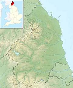
The River Wansbeck runs through the county of Northumberland, England. It rises above Sweethope Lough on the edge of Fourlaws Forest in the area known locally as The Wanneys (Great Wanney Crag, Little Wanney Crag; thus the "Wanneys Beck"); runs through the town of Ashington before discharging into the North Sea at Sandy Bay near Newbiggin-by-the-Sea.
The River flows through the village of Kirkwhelpington, Hartburn, where the tributary Hart Burn joins, the village of Mitford, where the River Font joins, and the town of Morpeth.
The River Wansbeck is nicknamed the River Wanney. The term 'The Wilds of Wanney' is used by people of Tyneside to refer to the rural areas of Northumberland where the Wansbeck rises.
The River lent its name to the former Wansbeck district which was based in Ashington, and included Newbiggin-by-the-Sea, Bedlington and Stakeford.
- ^ a b "River factfiles : Get to know your rivers" (PDF). Environmentdata.org. Retrieved 7 July 2022.

