Rundle Street | |
|---|---|
 | |
| Rundle Street, looking east (April 2019) | |
 | |
| Coordinates | |
| General information | |
| Type | Street |
| Location | Adelaide city centre |
| Length | 500 m (0.3 mi)[1] |
| Opened | 1837 |
| Major junctions | |
| West end | Pulteney Street Adelaide |
| East end | Rundle Road Adelaide |
| Location(s) | |
| LGA(s) | City of Adelaide |
| ---- | |
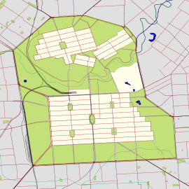
Rundle Street, often referred to as "Rundle Street East" as distinct from Rundle Mall, is a street in the East End of the city centre of Adelaide, the capital of South Australia. It runs from Pulteney Street to East Terrace, where it becomes Rundle Road through the East Park Lands.[a] The street is close to Adelaide Botanic Gardens, Rundle Park, Rymill Park, Hindmarsh Square and North Terrace.
The street contains numerous cafés, restaurants, shops, cinemas, clubs, and hotels. It is one of Adelaide's most popular streets for cafés and fashion. Most of the street has a heritage façade, but has been redeveloped for modern use, with some buildings converted to residences, such as the East End Markets.
- ^ "Rundle Street" (Map). Google Maps. Retrieved 1 June 2022.
- ^ 2003 Adelaide Street Directory, 41st Edition. UBD. 2003. ISBN 0-7319-1441-4.
Cite error: There are <ref group=lower-alpha> tags or {{efn}} templates on this page, but the references will not show without a {{reflist|group=lower-alpha}} template or {{notelist}} template (see the help page).

