Back San Ysidro German San Ysidro (condado de San Diego, California) Spanish San Ysidro (San Diego) French सान इसिद्रो, कॅलिफोर्निया Marathi San Ysidro NB
San Ysidro, San Diego | |
|---|---|
| San Ysidro | |
 San Ysidro seen from south of California State Route 905 | |
| Coordinates: 32°33′18″N 117°02′40″W / 32.5549°N 117.044306°W | |
| Country | |
| State | |
| County | |
| City | |
| Population (2010) | |
| • Total | 28,008[1] |
| ZIP code | 92173[2] |
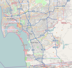
San Ysidro (Californio Spanish for for "St. Isidore", Spanish pronunciation: [san iˈsiðɾo]) is a district of San Diego, California, immediately north of the Mexico–United States border. It neighbors Otay Mesa West to the north, Otay Mesa to the east, and Nestor and the Tijuana River Valley to the west; together these communities form South San Diego, a practical exclave of the City of San Diego.[3] Major thoroughfares include Beyer Boulevard and San Ysidro Boulevard.
- ^ "DEMOGRAPHIC & SOCIO ECONOMIC ESTIMATES". Archived from the original on 2016-04-12.
- ^ "San Ysidro ZIP Code". zipdatamaps.com. 2022. Retrieved November 25, 2022.
- ^ "Jurisdictions of the San Diego region". San Diego Association of Governments. Retrieved 13 April 2011.
