Back Licancabur BAR Ліканкабур Byelorussian Licancabur Catalan Volcán Licancábur CEB Licancabur Czech Licancabur German Licancabur English Likankabur Esperanto Volcán Licancabur Spanish Licancabur sumendia Basque
| Licancabur | |
 Le Licancabur et la Laguna Verde en 2007. | |
| Géographie | |
|---|---|
| Altitude | 5 916 m |
| Massif | Cordillère Occidentale (Andes) |
| Coordonnées | 22° 50′ 01″ sud, 67° 52′ 58″ ouest |
| Administration | |
| Pays | |
| Département Région |
Potosí Antofagasta |
| Province Province |
Sud Lípez El Loa |
| Ascension | |
| Première | 1884 par Severo Titichoca |
| Voie la plus facile | Versant nord-est |
| Géologie | |
| Âge | Holocène |
| Type | Volcan de subduction |
| Morphologie | Stratovolcan |
| Activité | Inconnue |
| Dernière éruption | Inconnue |
| Code GVP | 355092 |
| Observatoire | Aucun |
| modifier |
|
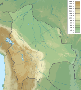
Le Licancabur est un stratovolcan andin, situé à la frontière entre la Bolivie et le Chili.

